


May 12, 2016
Over five million cubic miles of ice covers the Earth's surface.
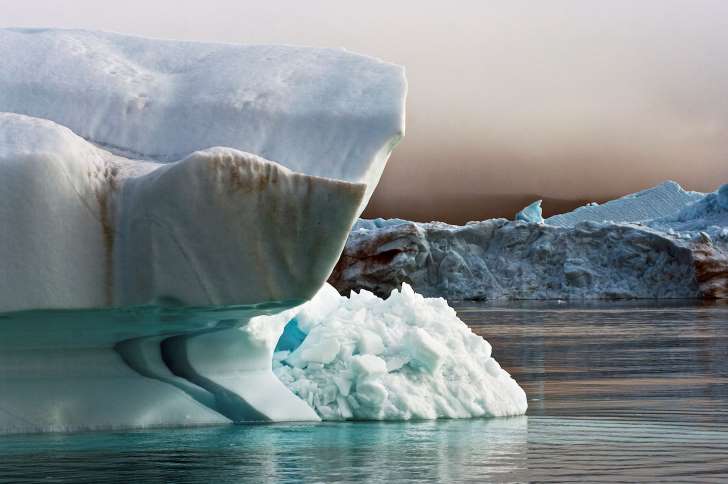
DENMARK – MAY 05: Iceberg detached from Jakobshavn (Sermeq Kujalleq) glacier, Ilulissat village, Qaasuitsup, west Greenland, Denmark. – Getty Images
May 12, 2016
Over five million cubic miles of ice covers the Earth's surface.
DENMARK – MAY 05: Iceberg detached from Jakobshavn (Sermeq Kujalleq) glacier, Ilulissat village, Qaasuitsup, west Greenland, Denmark. – Getty Images
As global temperatures rise, this ice continues to melt, and at an ever-increasing pace. With that, sea-levels continue to rise faster than ever. According to NASA satellite calculations, 130 billion tons of ice thaw out and pour into the sea every year. The US has nearly 10,000 miles of shoreline that is vulnerable to this rise in water levels, and people are already being displaced in some areas as a result.
According to estimates of the worse case scenario, global sea levels will rise by up to 10 feet in the next century. Some scientists say that it would take more than 5,000 years to melt all the ice, which would raise sea levels by a whopping 216 feet. This would cause whole states to be submerged under water.
Here's what the US coastline would look like in that scenario:
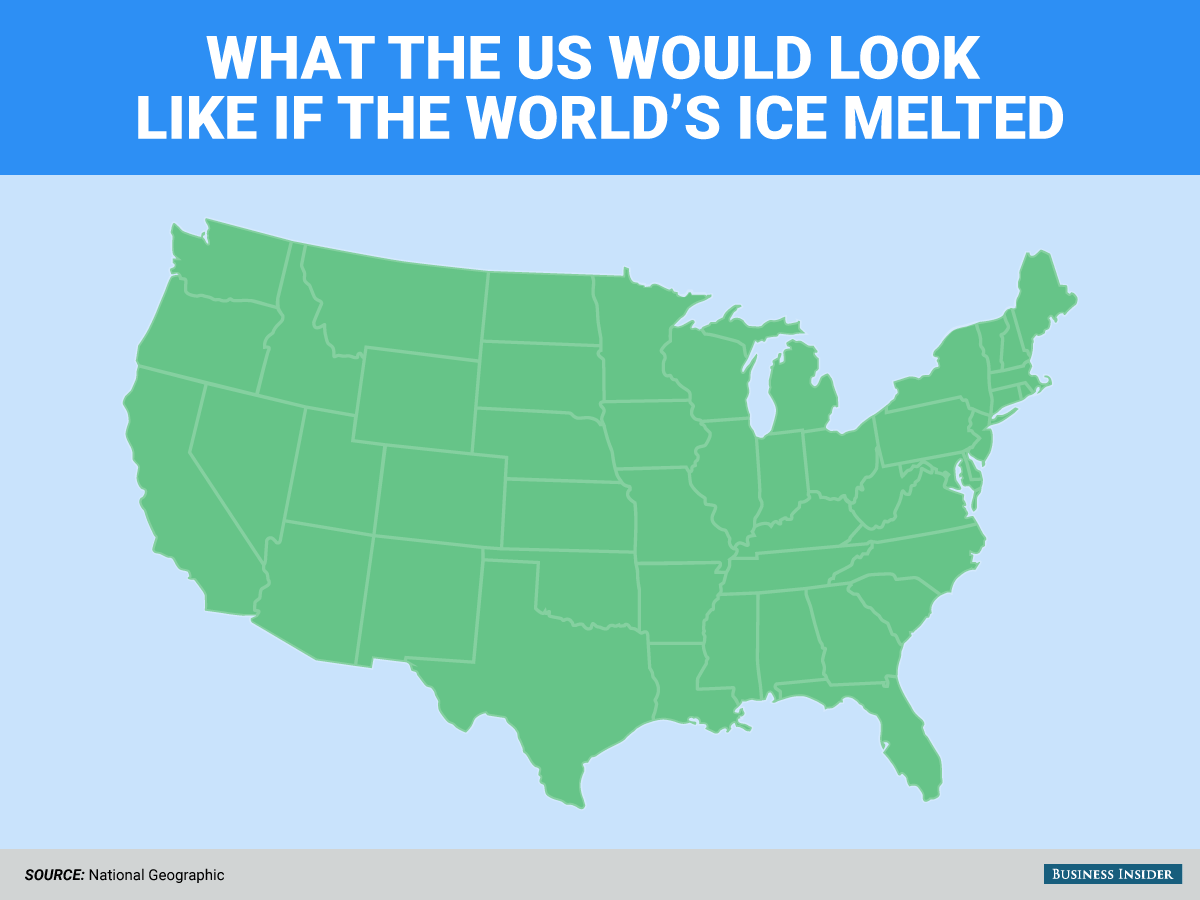
Courtesy: Business Insider


